


Steven’s Creek Trail
Durango to TH
10 Miles
Gain
3560 Feet
Condition
Unknown
Region
Trail Length
7.3 Miles
Photo Courtesy of Casey Lynch
Part of the Missionary Ridge trails system.
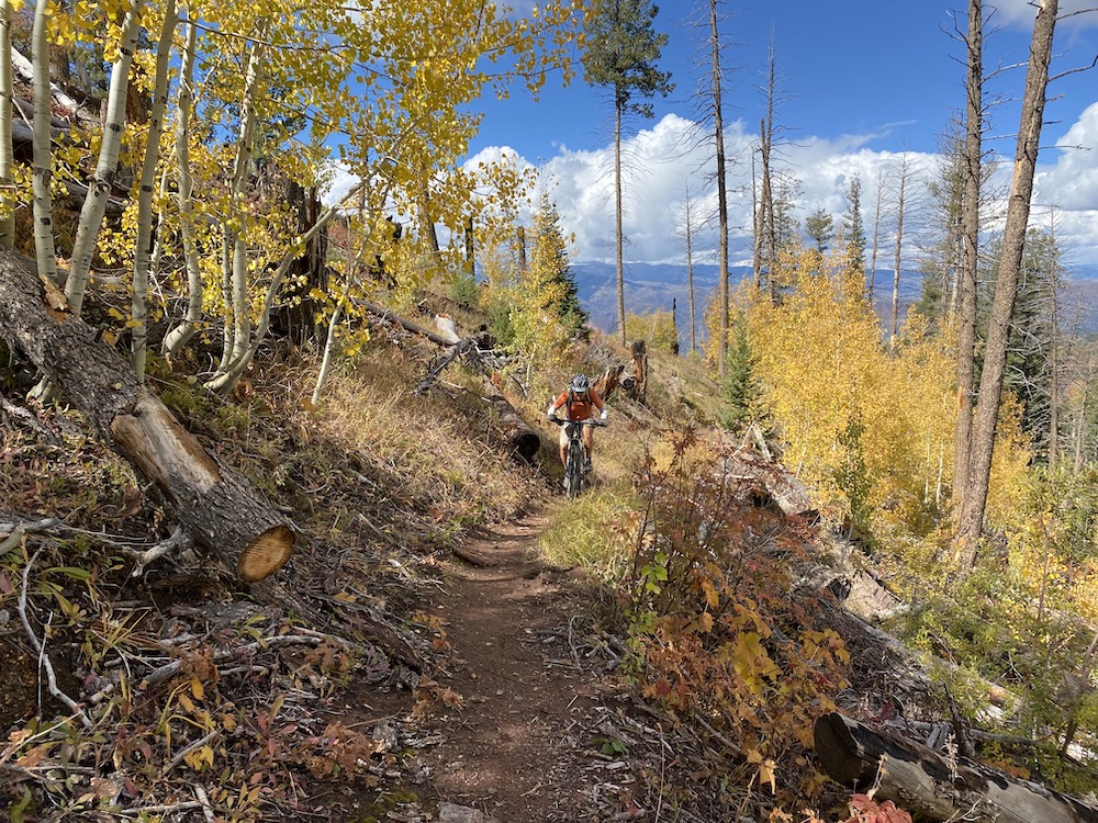
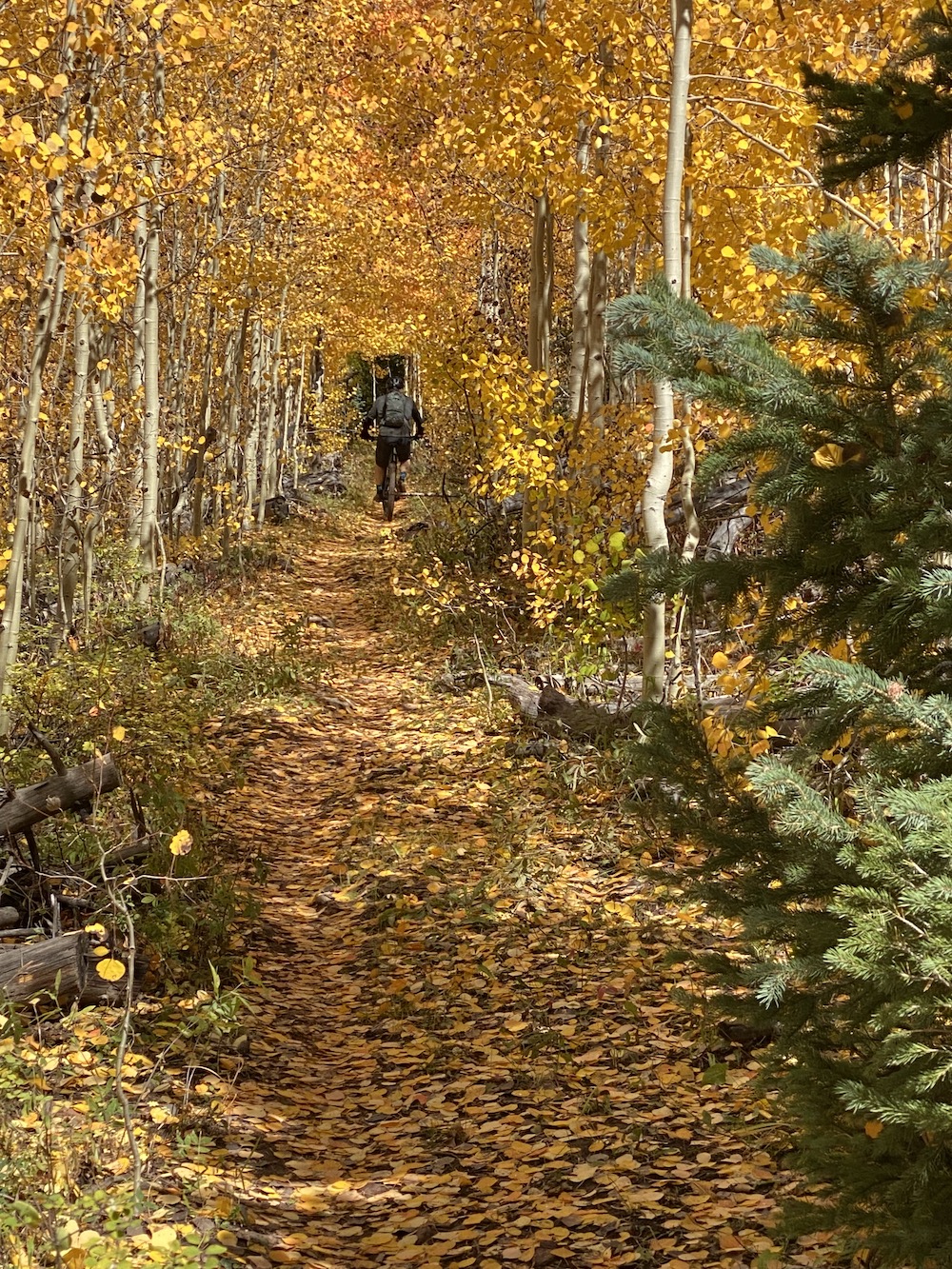
Steven’s Creek Trail is a 7.25-mile trail near the north end of Missionary Ridge trail system. Steven’s Creek gains over 3,500 feet from the parking area to its intersection with Missionary Ridge Trail.
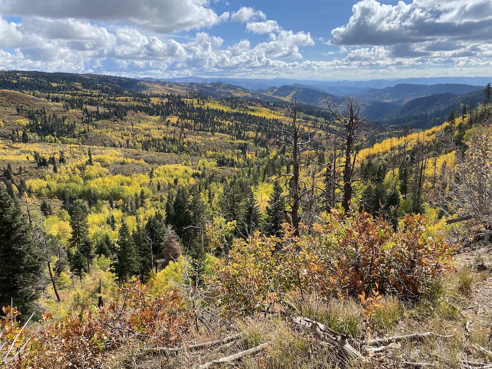
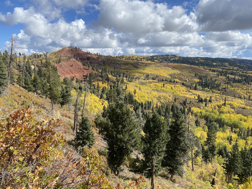
The Missionary Ridge trail network is an unknown gem even to most locals. There are multiple trailheads that offer a selection of generally snow-free, three-season hikes in the low country. In spring, aspen corridors are carpeted with purple larkspur and sunny dandelion. Spears of lupine and alpine rose fill green glades with sublime fragrance. Look out from the well-earned ridgetop to the La Plata range and the San Juan Mountains. Great review in The Durango Herald.
Steven's Creek in the fall!
Map & Directions
Map Coordinates: 37.407866, -107.775793
Where's the Trailhead?
dIRECTIONS TO TRAILHEAD
Steven’s Creek Parking Area
From 9th Street and Main Avenue in Durango, head east on 9th Street toward 2nd Avenue. Turn left onto east 3rd Street and turn right onto Florida Road. At the round-a-bout stay straight to continue on Florida Road. Turn left onto CR 250 at the traffic light. Continue on CR 250 for 8.8 miles and find a place to park along the road near Steven’s Creek trail which takes off just on the east side of the CR 250.
Trailwork
help build our trails!
Thursday, September 12 Trailwork
Join us for a weekday trailwork party at [location TBD]. Thank you for volunteering with Trails 2000 at our trailwork party on Thursday, September 12 from 4:30 to 7:30pm!
