Blackhawk Pass 


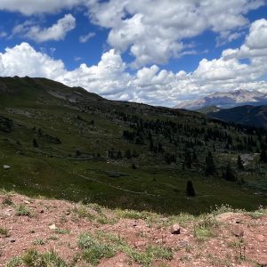
Blackhawk Pass is a highly rated 9 mile popular black diamond singletrack trail located near Rico Colorado. This multi-use trail can be used both directions.

Blackhawk Pass is a highly rated 9 mile popular black diamond singletrack trail located near Rico Colorado. This multi-use trail can be used both directions.
An alternative route to Lake Columbine, this out and back is generally above treeline with great views.
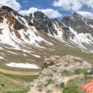
Velocity Basin is a cirque basin with a small turquoise lake at its base. At an elevation of 11,315 ft above sea level, it is accessed from CR 52 outside of Silverton.
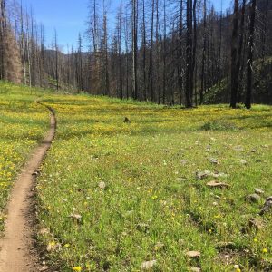
Bolam Pass Road climbs 4 miles until the road levels out and connects to the Colorado Trail (at high country).

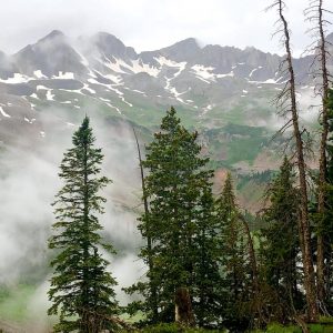
Located just a little over 2 hours from Durango, Telluride’s trails offer a range of outdoor activities
Take in views of the surrounding San Miguel Mountain Range, including Mount Wilson (14,245-ft.), Gladstone Mountain (13,913-ft.) and Wilson Peak (14,017-ft.).
Excerpt needed
Rock Creek Trail is a difficult 3.9-mile trail, accessed from East Rock Creek Trail.
East Rock Creek is a popular, difficult loop in Sand Canyon and is west of the main Sand Canyon out-and-back trail.
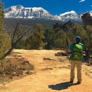
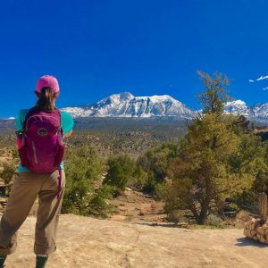
Sand Canyon Trail is 6.3 miles each way and provides beautiful views of the canyons.
