West Lime Creek
Durango to TH
34 Miles
Gain
1100 Feet
Condition
Poor
Region
Trail Length
2.5 Miles
Photo by Hank Blum
Part of the High Country trails system at Engineer Mountain Trail
West Lime Creek Trail (FS #679) follows West Lime Creek for several miles, then crosses and leaves it. There are several waterfalls along the creek. Usually, there is an abundance of wildflowers in July and August. All water from the creek should be filtered, to prevent problems with Giardia. The trail fades out between the Twin Sisters, but with a compass and a topographic map, it is possible to navigate a route to the Twin Sisters or Colorado Trail. From here you can head north or south, climbing either of the Twin Sisters, or another high point has a spectacular view and excellent opportunities for photography. West Lime Creek Trail is part of Lime Creek Road, a motorized route with dispersed camping opportunities. Lime Creek Road also brings you to parking for Spud Mountain.
Map & Directions
Map Coordinates: 37.741264, -107.753048
Where's the Trailhead?
dIRECTIONS TO TRAILHEAD
Coal Bank Pass / Engineer Mountain Trail Parking
From 9th Street and Main Avenue in Durango, head west on 9th Street toward Camino Del Rio (Highway 550). Turn right onto Camino Del Rio (HWY 550) and continue north on Hwy 550 past Purgatory Resort toward Silverton. This access point is found some 39 miles north of Durango on U.S. 550. The trailhead is about 1 mile north from the low point between Coal Bank Pass and Molas Pass, on the big, sweeping hairpin turn. Parking is on the east side of the road in the large turnout south of the trailhead. To reach the trailhead, one must cross the highway and walk roughly 40 yards up the road. The trailhead leads off on the north side of the creek.
Trailwork
help build our trails!
Thursday, September 12 Trailwork
Join us for a weekday trailwork party at [location TBD]. Thank you for volunteering with Trails 2000 at our trailwork party on Thursday, September 12 from 4:30 to 7:30pm!
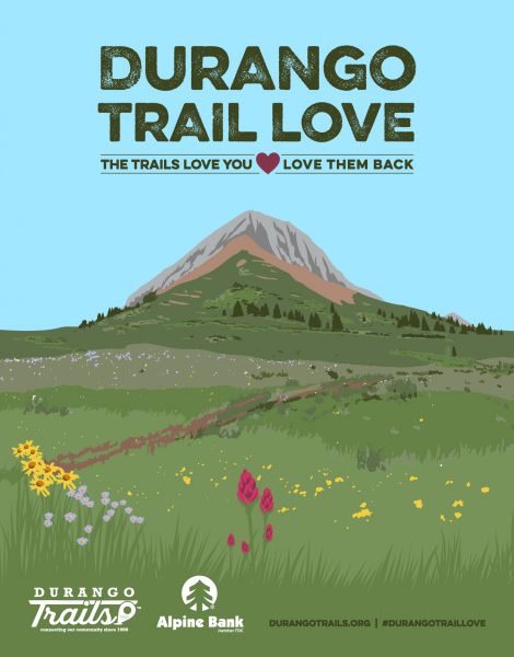
Love the Trails Like a Local
Say Hi
Greet all trail users by saying hi when passing on the trail.
Announce Yourself
Say "on your left" as approaching other trail users from behind.
Pick Up After Yourself
Pick up after yourself and your pet. Please don’t litter.
Keep Dogs on a Leash
Keep your dogs on a leash or leave them at home. Off-leash dogs are not allowed on City Open Space and are the number one source of trail conflict.
Stay on the Trail
Help protect natural areas and habitats by staying on established trails. Creating "social trails", cutting switchbacks, or ignoring trail closures leads to greater erosion and impacts on ecosystems.
Give Uphill Traffic the
Right of Way
Uphill traffic always has the right of way. Downhill traffic must be in control, especially around blind corners, to avoid coming in contact with uphill traffic.
Check Conditions
Stay up to date by checking the Trail Conditions report and following us on Facebook or Instagram.
Give Back
Donate to Durango Trails or volunteer for trailwork to help give back to the trails you love.


