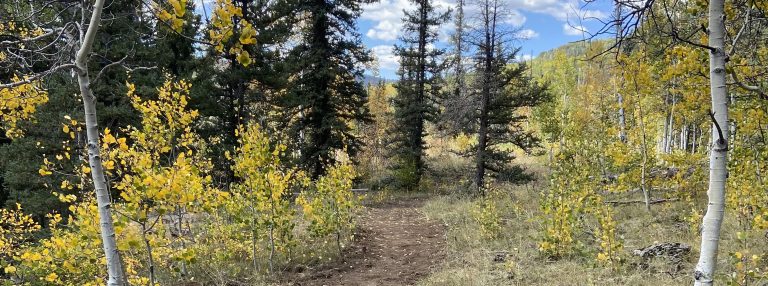
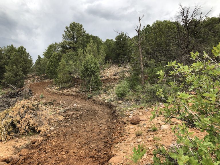
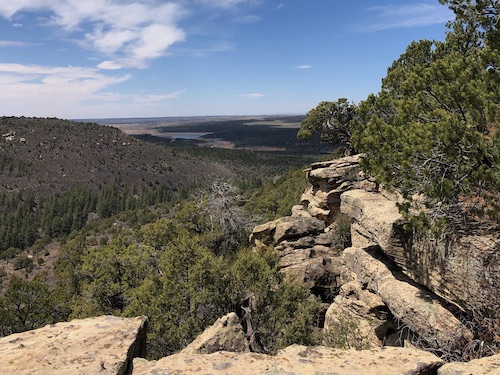
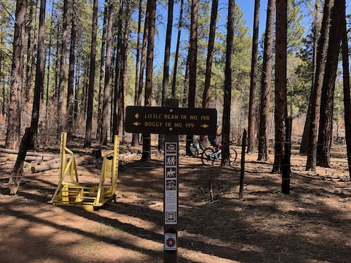
Boggy Draw Loop is a popular ride with beginners because it is mostly flat. The trail weaves through scattered ponderosa pine, oak brush and an occasional meadow. Look for carsonite posts at road crossings so you don’t get off track. The Boggy Trailhead also hosts three other trails that offer a wide variety of terrain and range of difficulties.
History: The Boggy Draw Loop is the original trail in the Boggy Draw network. Much of this trail was built by linking together cow paths created by the cattle that graze here every summer. Eventually, the Mavericks Loop trail was added along with the Bean Canyon Loop and Italian Canyon Loop.
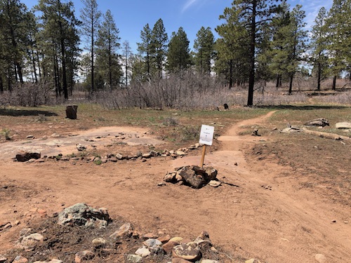
Beginning in downtown Dolores, turn north off of Highway 145 onto 11th Street and follow the road (which becomes County Road 31) up to the top of the mesa. Turn right (east) on Road W and travel approximately one mile until you cross a cattle guard and the forest boundary. The parking lot and trailhead is located on the left side of road once you enter the Forest boundary.
Join us for a weekday trailwork party at [location TBD]. Thank you for volunteering with Trails 2000 at our trailwork party on Thursday, September 12 from 4:30 to 7:30pm!
Help protect natural areas and habitats by staying on established trails. Creating "social trails", cutting switchbacks, or ignoring trail closures leads to greater erosion and impacts on ecosystems.
Uphill traffic always has the right of way. Downhill traffic must be in control, especially around blind corners, to avoid coming in contact with uphill traffic.
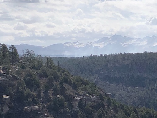
Boggy Draw still riding great. Little dusty but was raining/hailing on Saturday which will sweeten the trails. Smoke could be seen from prescribed Hay Camp fires yesterday from overlook on Italian and additional prescribed fires today near Boggy. A great 20 mile loop to ride (Boggy to Bear Tracks, to Paya, Little Bean & back to Boggy).
Boggy Draw Trails
Submitted by: Pate Fitzgerald
Date Visited:
4/26/21
Trail Condition:
Good
Comments:
Boggy Draw is riding great.Boggy, Italian, Maverick, upper Little Bean, String Bean, Sunset & Bear Claws good to go.Thank you SWCAA for clearing all the trees.