


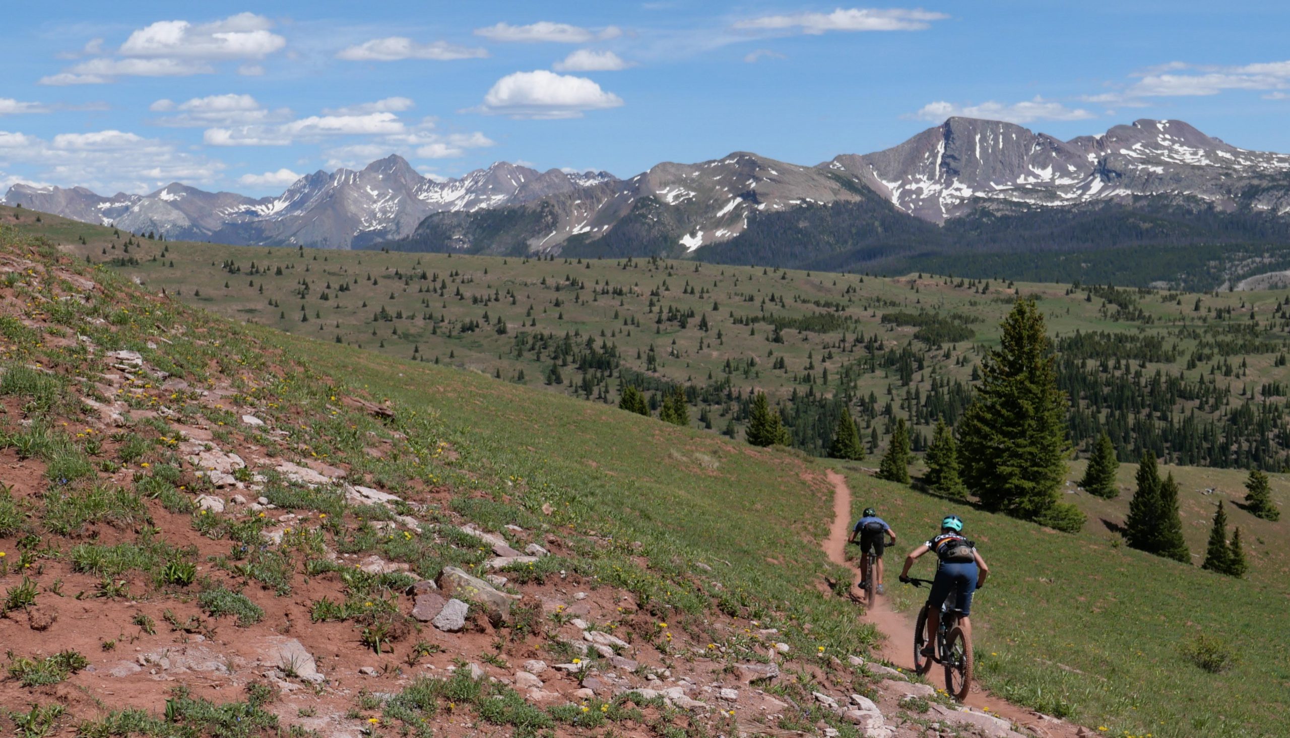
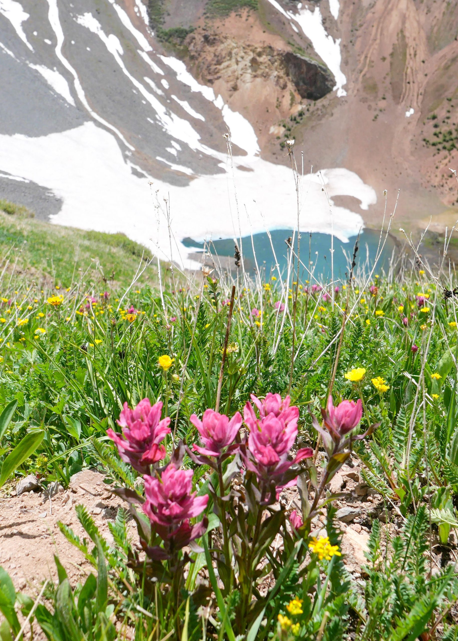
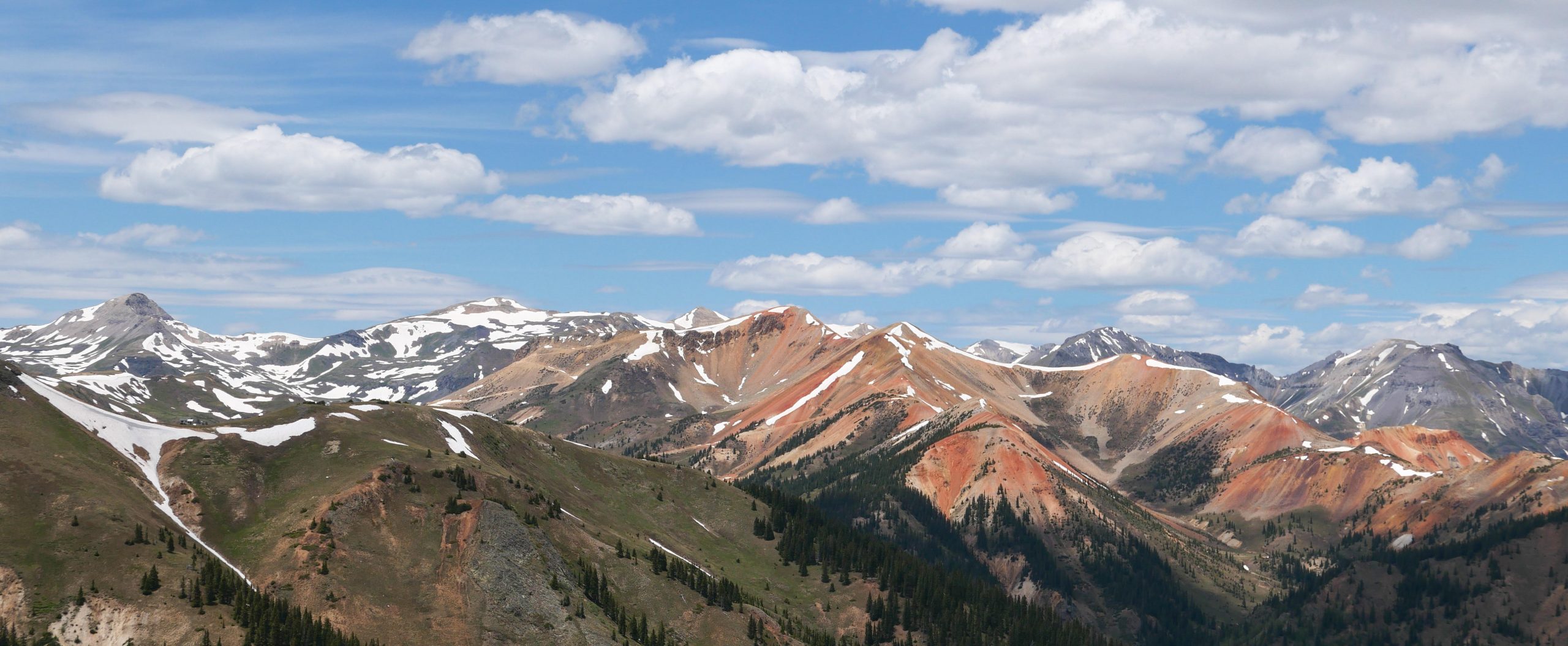
Molas Pass
Part of the Colorado Trail (High Country) system.
A popular place for high country trail access just north of Durango, Molas Pass is a scenic overlook of surrounding mountains and valleys. The Colorado Trail (High Country) crosses Highway 550 near the top of Molas Pass.
On the west side of the road, just north of Molas Pass Overlook, is Little Molas Lake. Little Molas Lake offers campsites and a trailhead for the Colorado Trail. North of Little Molas Lake on Highway 550 is Big Molas Lake, with a larger more developed campground. Big Molas Lake is popular during warm seasons for fishing, hiking, and established campsites.
Map & Directions
Map Coordinates: 37.737195, -107.697378
Where's the Trailhead?
dIRECTIONS TO TRAILHEAD
Molas Pass Overlook and Parking Area
From 9th Street and Main Avenue in Durango, head west on 9th Street toward Camino Del Rio (Highway 550). Turn right (north) onto Highway 550 and continue for 47.5 miles over Molas and Coal Bank Passes towards Silverton, Colorado.
From Silverton, turn left at the intersection before town to stay on Highway 550 north. In 2 miles turn left onto CR 7/FS Road 585 near Mineral Creek and continue for 7 miles to the trailhead and parking area.
Trailwork
help build our trails!
Thursday, September 12 Trailwork
Join us for a weekday trailwork party at [location TBD]. Thank you for volunteering with Trails 2000 at our trailwork party on Thursday, September 12 from 4:30 to 7:30pm!
Love the Trails Like a Local
Say Hi
Greet all trail users by saying hi when passing on the trail.
Announce Yourself
Say "on your left" as approaching other trail users from behind.
Pick Up After Yourself
Pick up after yourself and your pet. Please don’t litter.
Keep Dogs on a Leash
Keep your dogs on a leash or leave them at home. Off-leash dogs are not allowed on City Open Space and are the number one source of trail conflict.
Stay on the Trail
Help protect natural areas and habitats by staying on established trails. Creating "social trails", cutting switchbacks, or ignoring trail closures leads to greater erosion and impacts on ecosystems.
Give Uphill Traffic the
Right of Way
Uphill traffic always has the right of way. Downhill traffic must be in control, especially around blind corners, to avoid coming in contact with uphill traffic.
Check Conditions
Stay up to date by checking the Trail Conditions report and following us on Facebook or Instagram.
Give Back
Donate to Durango Trails or volunteer for trailwork to help give back to the trails you love.
Trip Reports and Recent Photos
Colorado Trail at Molas Pass
Date Visited:
6/20/20
Submitted by: Dan Brown
