Elbert Creek Trail
Durango to TH
27 Miles
Gain
4000 Feet
Condition
Poor
Region
Trail Length
9.7 Miles
Part of the Hermosa Creek Trail System.
The views from Purgatory Cliffs at the top of the Elbert Creek trail overlooking the Needles are beautiful no matter what time of year you scale the heights; however, there is almost no better place to witness the changing aspens in the fall.
Because the Elbert Creek trailhead begins at just above 8,500 feet, hikers will witness the landscape transforming from the desert sagebrush and scrub oak of Durango (6,512 feet) to aspen groves and alpine meadows of the higher elevation. The first half of the hike travels through one of these groves and the light that is filtered through the leaves becomes bright gold in the morning.
Featured trails – Castle Rock: Cliff Top Park is a huge area roughly defined by the Hermosa Cliffs on the east, Elbert Creek on the south and Elbert Creek Road on the west and north. It is mostly flat along the cliffs then rises and turns into hills further away from the edge. It contains the most pleasant riding and spectacular views in the area.
Options include: 1) Follow the prominent Castle Rock Road bearing right and meander a couple of miles through the clear cut to Castle Rock, the prominent promontory 1500 feet above Needles Country Square. Trails off to the left lead to the cliff edge and trails to the right lead to Elbert Creek;
2) Enter the roadless area and bear left until you hit the weather tower. Turn right along an abandoned logging road through the clear cut on and into the woods. Then ride along the Cliff Edge Trail about a mile until you reach Joe’s Jump and the Hermosa Cliffs Overlook. Continue south until you hit the Castle Rock Road. From here take a sharp left up to Castle Rock or go straight ahead up the switchback back to Purgatory;
3) About a mile down the Castle Rock Road there is another logging road on the left, or west, in the middle of the reforested pine. This trail goes a couple miles down to the Elbert Creek Trail. Cross Elbert Creek and ride right up Elbert Creek Trail to Elbert Creek Road. Turn right and follow the road 3 miles back to your car.
Click here for more information about Elbert Creek Trail, courtesy of MTBProject.
Map & Directions
Map Coordinates: 37.6041, -107.889261
Where's the Trailhead?
dIRECTIONS TO TRAILHEAD
Needles Store Parking Area
Northern Hermosa Creek Access
Southern Hermosa Creek Access
A quick 20-minute drive north on Highway 550 from Durango will find you at the Needles Country Store. Turn left into the parking lot, but parking for the trail is limited to a few spots on the far south end near the empty cattle pens. Or, take Hwy 550 north to Purgatory Resort and ride up Hermosa Park Road or the Worlds Trail until you get to the Elbert Creek Road (about 3 miles).
Trailwork
help build our trails!
Thursday, September 12 Trailwork
Join us for a weekday trailwork party at [location TBD]. Thank you for volunteering with Trails 2000 at our trailwork party on Thursday, September 12 from 4:30 to 7:30pm!
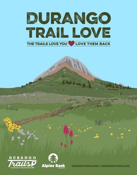
Love the Trails Like a Local
Say Hi
Greet all trail users by saying hi when passing on the trail.
Announce Yourself
Say "on your left" as approaching other trail users from behind.
Pick Up After Yourself
Pick up after yourself and your pet. Please don’t litter.
Keep Dogs on a Leash
Keep your dogs on a leash or leave them at home. Off-leash dogs are not allowed on City Open Space and are the number one source of trail conflict.
Stay on the Trail
Help protect natural areas and habitats by staying on established trails. Creating "social trails", cutting switchbacks, or ignoring trail closures leads to greater erosion and impacts on ecosystems.
Give Uphill Traffic the
Right of Way
Uphill traffic always has the right of way. Downhill traffic must be in control, especially around blind corners, to avoid coming in contact with uphill traffic.
Check Conditions
Stay up to date by checking the Trail Conditions report and following us on Facebook or Instagram.
Give Back
Donate to Durango Trails or volunteer for trailwork to help give back to the trails you love.


