Trails in the area: Colorado Trail, Continental Divide Trail, Cave Basin, Pinos River Trail to Emerald Lake, Elk Park Train Stop to Needleton, Ute Creek Trail to Twin Lakes, West Lost Trail and Lost Trail Loop.
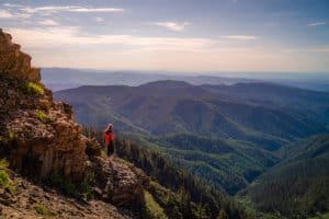
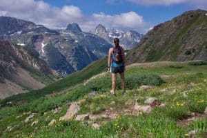
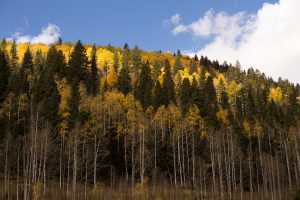
With more than 492,000 acres, the Weminuche Wilderness is one of the largest wilderness areas in the United States. Within the wilderness area, which is closed to all vehicular traffic, you can hike to high alpine valleys, mountain peaks and pristine lakes on hundreds of miles of marked trails. While the wilderness area has many access points, one of the best approaches is from the Durango & Silverton railroad stop of Elk Park, just outside of Silverton. You can purchase a ticket to or from Elk Park onboard as long as space is available—no reservations are taken for this flag stop.
Click here to learn more about accessing the Weminuche Wilderness via train.
Elk Park is a popular access point for the Weminuche Wilderness. Train tickets (with wilderness access options) are available through the main Durango-Silverton Narrow Gauge website. You can also hike into the wilderness by driving north from Durango, towards Silverton, Colorado.
Join us for a weekday trailwork party at [location TBD]. Thank you for volunteering with Trails 2000 at our trailwork party on Thursday, September 12 from 4:30 to 7:30pm!