Church Camp Trail System
Durango to TH
6.5 Miles
Gain
Condition
Good
Region
Trail Length
5 Miles
Trails in this system
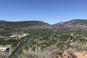
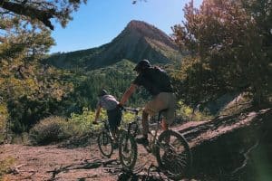
An easy and flat ride is hard to find when your town is based on a river and climbs to 6,512 feet in town; but the Church Camp trails by Turtle Lake are a great starting point.
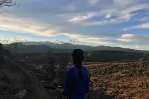
The trail sits in a grassy meadow and offers great views of the Hermosa cliffs and a nice place to learn. It gets rockier as you head north so you may want to turn around while you’re in the meadow, depending on your skill set.
Map & Directions
Map Coordinates: 37.342215, -107.867307
Where's the Trailhead?
dIRECTIONS TO TRAILHEAD
To main trailhead:
From Durango, drive west on 25th Street which turns into Junction Creek Road. At the three-way intersection go right (CR 205), pass Chapman Lake on the right side of road and park in the pullout past the National Forest sign; marked by a large boulder and gravel pull out. From here the trail heads to the east at the boulder and through the meadow towards Falls Creek. If this parking area is full, there are several other small pull-outs along CR 205.
Trailwork
help build our trails!
Thursday, September 12 Trailwork
Join us for a weekday trailwork party at [location TBD]. Thank you for volunteering with Trails 2000 at our trailwork party on Thursday, September 12 from 4:30 to 7:30pm!

