Perins Peak Trail is a rather lengthy and difficult hike, but it is also one of the most rewarding day hikes Durango has to offer. The almost 7-mile roundtrip hike around Perins Peak begins at many locations but two recommendable options are taking the same route for Hogsback Trail in Overend Mountain Park, but following the trail markers for Perins Peak, or alternatively, starting where Rockridge Dr. and Tanglewood Dr. intersect and taking the back way up the mountain.
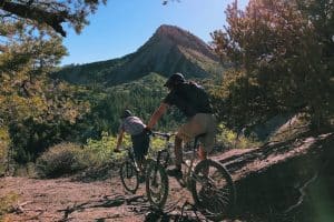
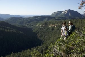
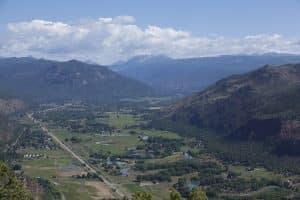
Either way, there isn’t much heavy foot traffic on the way up to Perins Peak, which creates a wonderful sense of calm and immersion in nature. The overhang, which is one of the most recognizable landmarks in Durango due to its sheer, dropping cliffside and jutting ledge, provides the perfect setting for incredible pictures and a place to relax while you enjoy the view of town.
From downtown Durango, take Main Avenue north to 25th Street, turn left and head west. Turn left onto Clovis Drive and head up the hill to the Rockridge subdivision. Turn right on Tanglewood Drive, and at the end of the street you’ll see a parking lot for Perins Peak trail.
Help protect natural areas and habitats by staying on established trails. Creating "social trails", cutting switchbacks, or ignoring trail closures leads to greater erosion and impacts on ecosystems.
Uphill traffic always has the right of way. Downhill traffic must be in control, especially around blind corners, to avoid coming in contact with uphill traffic.